Introduction
Spatial Monitoring and Reporting Tool or SMART is a software application that enables conservationist to collect, store, communicate and evaluate ranger-based data on patrol efforts, patrol results and threat levels. Using the data, the organization of the park itself could monitor progress as well as improving protection of parks by analyzing data such as wildlife and human signs around the conservation area.
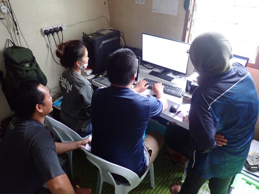
This program is scheduled for 2 days, with target group are the DaMaI rangers and to be invited a few officers and/or rangers from *Sabah Foundation (SF) and *Sabah Forestry Department (SFD) to take part in this short course (*limited participation). The refresher course will cover on collecting data using SMART mobile application, as well as importing to SMART Desktop and to generate reports.
Objectives of Training
The 2 days program have three main objectives, as stated in the following:
- To train newcomers on how to use and utilize SMART; and
- To develop a working module that fits the organization; and
- Develop identical module with local enforcement agency (e.g PROTECT & SFD) to allow information sharing.
Expected Outcomes
- Participants are able to utilize SMART within their landscape; and
- Participants are able to work together with local enforcement to reduce forest crime.
